Explore subnational data from household surveys
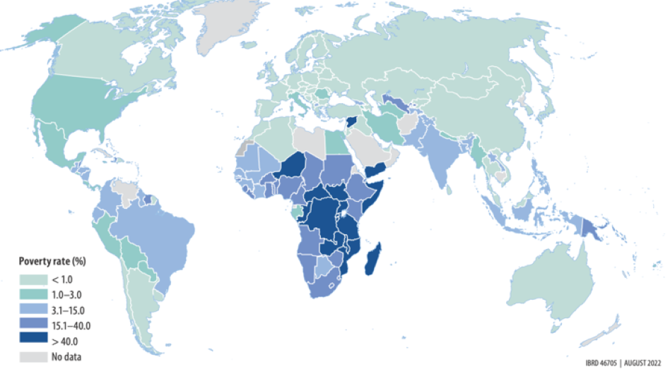
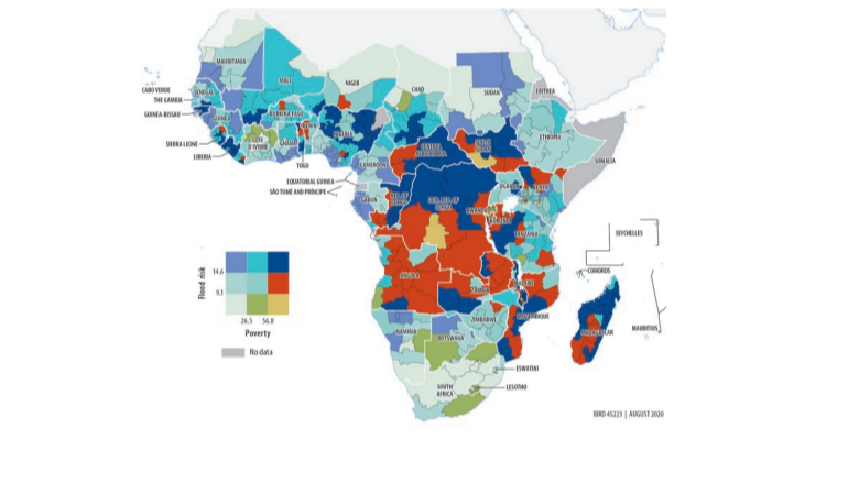
Global Subnational Atlas of Poverty (GSAP)
Subnational poverty projected to a common year in 1,800 areas across 166 economies

Subnational Poverty and Inequality Database (SPID)
A database of survey-based subnational indicators at multiple administrative levels, over time, by region and country

Learn about model-based estimates
Small Area Estimation (SAE)
Historical poverty mapping exercises and the latest guidelines to produce model-based poverty estimates at the small area level

Check SPID data availability
Hover over a country to see data available by country. Click on 'Explore More' to visualize the data in the Subnational Poverty and Inequality Database (SPID)

